When the Well Runs Low, Look Beyond the Well
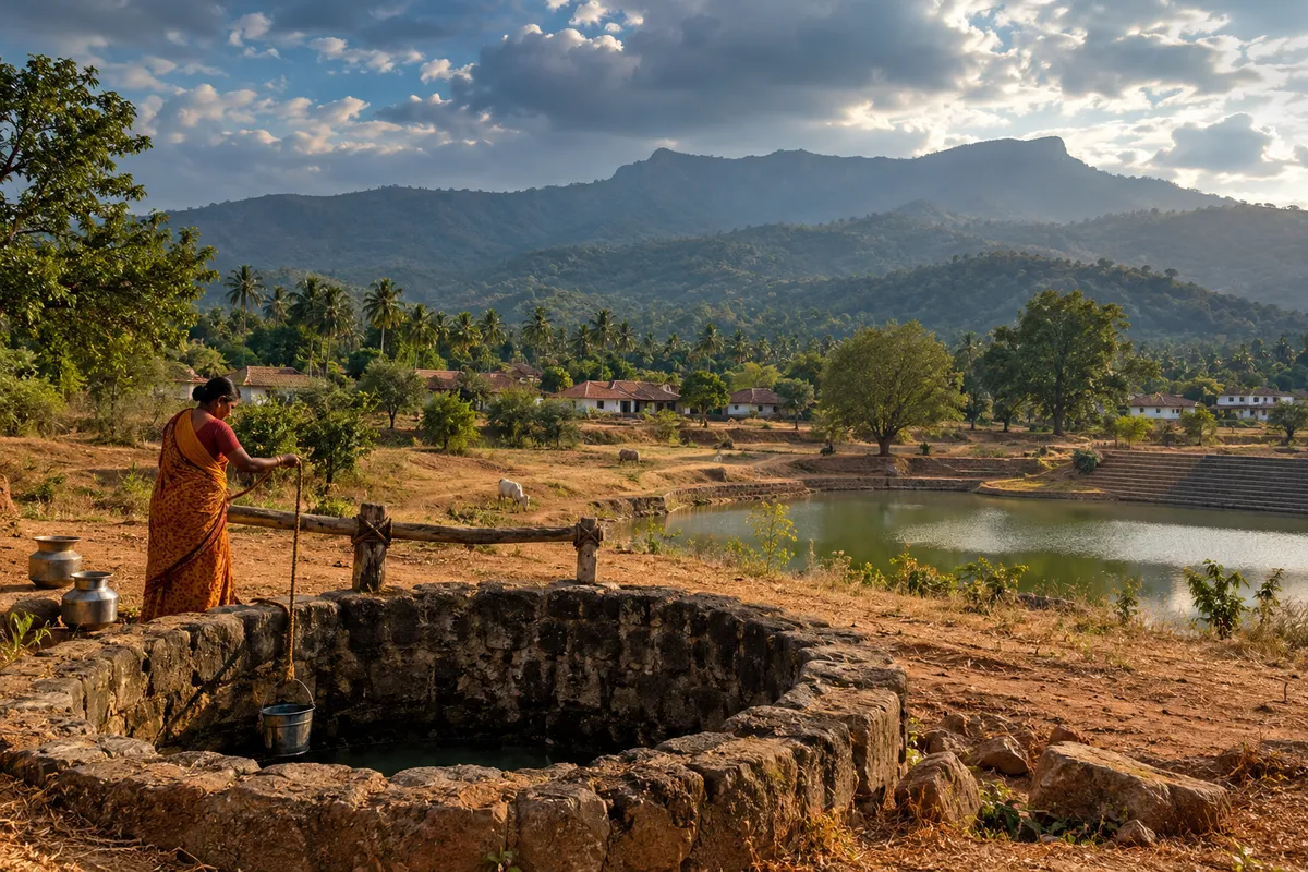
Image credit: AI-generated with OpenAI ImageGen for Humming Genesis; illustrative, not a documentary photograph.
A well rarely announces the state of a landscape all at once. The change comes in small increments: the water level drops a little earlier than last year; the pump runs longer; a neighbour drills deeper; a tanker begins appearing on a lane that used to manage without one. By the time the shortage becomes a crisis, the reasons may lie far beyond the well itself.
In much of Karnataka, groundwater is the quiet reserve beneath everyday life. It supports drinking water, farms, businesses and towns. Yet it is easy to imagine groundwater as a private tank under each property, filled by rain and emptied by use. In reality, aquifers are part of a shared system. Their behaviour depends on geology, rainfall, the shape of the land, the condition of the soil and how much water people draw out.
Rainfall is only the beginning of the story. When rain hits compacted soil, roads, rooftops and paved courtyards, much of it runs off quickly. Where the ground can absorb water, some rainfall moves down through soil and rock and may replenish groundwater. But recharge is not automatic: it depends on local conditions, and a structure labelled a recharge pit will not work well if it is poorly located, clogged or disconnected from the water flow it was meant to capture.
Karnataka’s older tanks and village water bodies offer a useful way to think about this. Many were part of systems that held monsoon water, supported agriculture and allowed water to move across the landscape. Their role was never just storage. The surrounding catchment delivered water and sediment; the tank held water for a time; overflow and channels connected it to places downstream. When those connections are blocked, when catchments are paved or eroded, or when tanks are treated as spare land, the loss is larger than the water surface suggests.
This does not mean every old tank should be restored to an imagined historical condition. Settlements and water demand have changed, and some tanks are polluted or altered. It does mean that restoration should start with a map of where water comes from and where it goes. Desilting a tank may be useful in some circumstances, but it cannot compensate for sewage entering the water, a blocked feeder channel or an upstream catchment that no longer allows water to infiltrate.
The same principle applies to cities. A rainwater harvesting system is not a decorative pipe attached to a building; it is one part of a wider water strategy. Rooftop collection can reduce pressure on other sources, while recharge systems may help where the local geology and water quality make them suitable. But neither should be used to justify unlimited extraction. If the number of borewells grows faster than recharge and demand management, the arithmetic remains unforgiving.
There is also a quality question. Water that enters the ground may carry contaminants with it. Recharge should never be treated as a reason to send untreated sewage or dirty runoff into a pit. Before designing a system, local hydrogeology and water quality need to be understood. The right solution for one plot may be wrong for the next street.
A more resilient approach begins at the scale of the watershed. Identify tanks, streams, wetlands, open soil, drainage lines and recharge areas. Protect the spaces that still absorb water. Repair feeder channels where that is ecologically and technically appropriate. Keep sewage out of water bodies. Use rainwater harvesting and recharge measures suited to the site. Track groundwater levels and quality over time, and make that information available to residents and farmers.
Demand matters just as much as supply. Cropping choices, irrigation methods, the timing of extraction and the number of borewells all influence how quickly groundwater is depleted. Advice needs to be practical and locally grounded: farmers cannot simply be told to use less water without considering crop income, market access and the availability of alternatives. Urban households also need clear information about consumption and the sources of the water they use.
For anyone trying to understand a local water problem, the Central Ground Water Board’s year books are a better starting point than a viral claim about how many years of water remain. The Board monitors groundwater levels across a network of stations and publishes observations for Karnataka. Such records can help show seasonal changes and longer-term trends, though a state-wide average cannot describe every aquifer or borewell. The useful unit is often much smaller: a taluk, a group of villages or a particular geological formation. Residents and local bodies should be able to see those records alongside information about rainfall, borewell use and water quality. Without that local picture, a new recharge structure may be built in the wrong place, or a falling water table may be blamed on rainfall alone when extraction is also part of the story.
In 2015, the Comptroller and Auditor General’s audit of lake conservation and ecological restoration in Karnataka found that responsibility for urban lakes was spread across a number of departments and agencies, and that coordination among them was “deficient”. In Bengaluru at the time, one body held a lake, another was responsible for treating the sewage flowing towards it, a third for surveying its boundaries and a fourth for regulating pollution; the audit even found upstream and downstream lakes in the same chain restored by different agencies without coordination. Water, however, does not respect departmental boundaries. A plan that treats each piece separately can spend money on visible improvements while missing the connection that matters most.
The question to ask before the next summer is not only, “How deep is the well?” It is: where does the rain land in this watershed, how long does it stay, what quality is it in, and how much are we taking out? Those are less convenient questions because they require coordination and data. They are also the questions that point towards durable solutions.
A well is a useful place to measure a problem. It is rarely the place where the problem begins. If Karnataka wants more reliable water through hotter, drier stretches, the work has to happen across the catchment: in the tank, the field, the street, the wetland, the aquifer and the decisions that connect them.
Sources and further reading
- Central Ground Water Board, South Western Region, Bengaluru. Groundwater Year Book of Karnataka (Year 2024–25), issued 2025. https://cgwb.gov.in/cgwbpnm/publication-detail/2014
- Comptroller and Auditor General of India. “Performance Audit on Conservation and Ecological Restoration of Lakes under the Jurisdiction of Lake Development Authority and Urban Local Bodies,” Karnataka, Report No. 1 of 2015 (tabled 29 June 2015). https://cag.gov.in/ag1/karnataka/en/audit-report/details/12412
- Ramachandra, T. V., Vinay S., Durga Madhab Mahapatra, Sincy Varghese and Bharath H. Aithal. Water Situation in Bengaluru. ENVIS Technical Report 114, Indian Institute of Science, 2016. https://wgbis.ces.iisc.ac.in/biodiversity/pubs/ETR/ETR114/index.html
- Ramachandra, T. V. et al. Vanishing Lakes Interconnectivity & Violations in Valley Zone: Lack of Co-ordination among Para-State Agencies. ENVIS Technical Report 85, Indian Institute of Science, January 2015. https://wgbis.ces.iisc.ac.in/biodiversity/pubs/ETR/ETR85/index.html